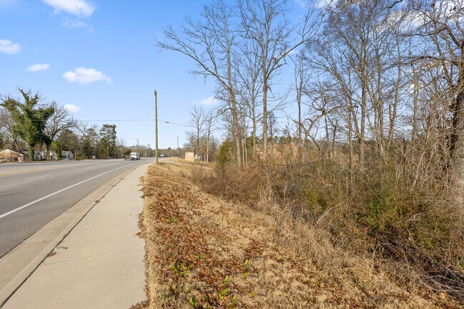
Property Record
8467 E Brainerd Rd, Chattanooga, TN 37421


NEARBY LISTINGS FOR SALE OR LEASE
Property Detail
8467 E Brainerd Rd
Chattanooga, TN-GA
Hamilton
159O-C-022
Tennessee
Sfr
0.35 AC
X
Outlying Chattanooga
47065C0369G
Chattanooga
2,052 SF
DEMOGRAPHICS near 8467 E Brainerd Rd
1 Mile
3 Mile
5 Mile
2024 Total Population
6,240
44,017
91,046
2029 Population
6,601
46,602
96,440
Pop Growth 2024-2029
+ 5.79%
+ 5.87%
+ 5.92%
Average Age
41
42
41
2024 Total Households
2,361
17,532
35,879
HH Growth 2024-2029
+ 5.97%
+ 6.06%
+ 6.07%
Median Household Inc
$98,797
$88,519
$73,731
Avg Household Size
2.60
2.50
2.40
2024 Avg HH Vehicles
2.00
2.00
2.00
Median Home Value
$258,446
$270,829
$257,385
Median Year Built
1991
1992
1989
Nearby Places
Map Layers
Map Styles
 Street
 Aerial
- Restaurants
- Banks
- Shops
- Fitness
- Groceries
PUBLIC TRANSPORTATION
AIRPORT
Lovell Field
DRIVE
WALK
Distance
Lovell Field
14 min
5.9 mi
Freight Ports
Georgia Ports - Savannah
DRIVE
WALK
Distance
Georgia Ports - Savannah
406 min
357.8 mi
SALE & LEASE HISTORY
LISTING DATE
SALE/LEASE

Jan 11, 2021
For Sale
Nearby Properties
Address
Land Use
TOTAL SIZE
Lot Size
Zoning
Address
Land Use
TOTAL SIZE
Lot Size
Zoning
564,883 SF
27.46 AC
C2
Address
Land Use
TOTAL SIZE
Lot Size
Zoning
94,933 SF
23.87 AC
R4
Address
Land Use
TOTAL SIZE
Lot Size
Zoning
43,576 SF
6.66 AC
C2
Address
Land Use
TOTAL SIZE
Lot Size
Zoning
2,336 SF
21.34 AC
R3
Address
Land Use
TOTAL SIZE
Lot Size
Zoning
471,313 SF
18.01 AC
R3
Address
Land Use
TOTAL SIZE
Lot Size
Zoning
355,219 SF
27.72 AC
R3
Address
Land Use
TOTAL SIZE
Lot Size
Zoning
3,472 SF
14.01 AC
Address
Land Use
TOTAL SIZE
Lot Size
Zoning
97,000 SF
18.78 AC
Address
Land Use
TOTAL SIZE
Lot Size
Zoning
5,865 SF
21.90 AC
Address
Land Use
TOTAL SIZE
Lot Size
Zoning
1,960 SF
19.50 AC
R2
Address
Land Use
TOTAL SIZE
Lot Size
Zoning
245,744 SF
24.84 AC
Address
Land Use
TOTAL SIZE
Lot Size
Zoning
50,506 SF
5.14 AC
MD
Address
Land Use
TOTAL SIZE
Lot Size
Zoning
110,710 SF
6.69 AC
M1
Address
Land Use
TOTAL SIZE
Lot Size
Zoning
138,790 SF
36.30 AC
R3
Address
Land Use
TOTAL SIZE
Lot Size
Zoning
183,036 SF
11.49 AC
R4
Address
Land Use
TOTAL SIZE
Lot Size
Zoning
193,486 SF
14.18 AC
Address
Land Use
TOTAL SIZE
Lot Size
Zoning
1,200 SF
14.10 AC
Address
Land Use
TOTAL SIZE
Lot Size
Zoning
121,263 SF
13.51 AC
C4
Address
Land Use
TOTAL SIZE
Lot Size
Zoning
111,196 SF
9.67 AC
C2
Address
Land Use
TOTAL SIZE
Lot Size
Zoning
90,493 SF
1.88 AC
Address
Land Use
TOTAL SIZE
Lot Size
Zoning
147,332 SF
9.44 AC
R4
Address
Land Use
TOTAL SIZE
Lot Size
Zoning
4,800 SF
9.60 AC
R3
Address
Land Use
TOTAL SIZE
Lot Size
Zoning
2,048 SF
7.67 AC
Address
Land Use
TOTAL SIZE
Lot Size
Zoning
87,971 SF
9.49 AC
C4
Address
Land Use
TOTAL SIZE
Lot Size
Zoning
75,987 SF
8 AC
C4
Address
Land Use
TOTAL SIZE
Lot Size
Zoning
78,358 SF
8.87 AC
R1
Address
Land Use
TOTAL SIZE
Lot Size
Zoning
47,278 SF
20.79 AC
R1
Address
Land Use
TOTAL SIZE
Lot Size
Zoning
71,293 SF
8.16 AC
C2
Address
Land Use
TOTAL SIZE
Lot Size
Zoning
66,390 SF
4.37 AC
C2
Address
Land Use
TOTAL SIZE
Lot Size
Zoning
58,551 SF
5.30 AC
R4
The World's #1 Commercial Real Estate Marketplace
Connect with us
© 2025 CoStar Group
The information above has been obtained from sources believed reliable. While we do not doubt its accuracy we have not verified it and make no guarantee, warranty or representation about it. It is your responsibility to independently confirm its accuracy and completeness. Any projections, opinions, assumptions, or estimates used are for example only and do not represent the current or future performance of the property. The value of this transaction to you depends on tax and other factors which should be evaluated by your tax, financial, and legal advisors. You and your advisors should conduct a careful, independent investigation of the property to determine to your satisfaction the suitability of the property for your needs.